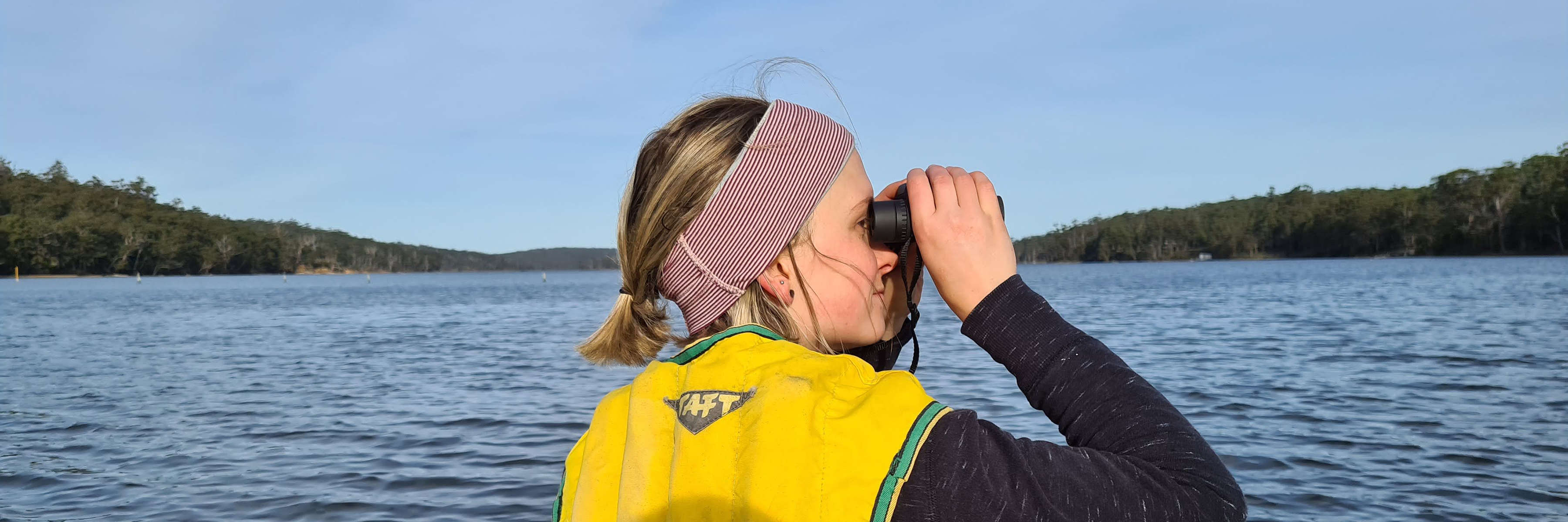
A woman in her twenties in a yellow life jacket at the front of a large kayak on the water, surrounded by land in the distance, looks with binoculars to the right of the photo as part of her Where? Where? Wedgie! surveys. Photo: Kelsey Picard.
Photo: Kelsey Picard

9–11 & 23–25 May 2025

Spend a day in the great outdoors. Book in a couple of friends and a little bit of kit, choose when and where, and make sure you have everything you need.

Our numbers so far:

  • 1488 Subscribed NatureTrackers
  • 849 Where? Where? Wedgie! app users
  • 99 Where? Where? Wedgie! : survey squares booked for 2+ days
  • 90 Where? Where? Wedgie! : complete data uploaded for 2+ days
  • 78 Eagles tagged for research since
  • 277 Burrowing crayfish chimneys mapped since

Find out what you need to do before the day to become a fully-fledged contributor to Where? Where? Wedgie!

1 Understand what’s required

Essentially: six 10-minute searches, each in a different spot within your chosen 4 km × 4 km square. Get the full story on the methods and bird species in the instructions, datasheets and Where? Where? Wedgie! how-to video. When you’ve done it once, it’s straightforward — always just check you’re up to date.

Background information can be found Science, FAQs and Resources.
2 Book a square

Once you’ve understood what a survey involves, sign up to the Where? Where? Wedgie! web app or app, and book a 4 km x 4 km square on the map, to survey on one or more of the official dates (Friday–Sunday 9–11 & 23–25 May 2025). You can also view the squares without signing up, via the Results Map, but read the instructions before before choosing your square.

Bookings open early in the year (announced by email and in social media), and close a few days before each survey weekend to allow for preparation time. Book as early as possible to help everyone coordinate, and to get your preferred square before anyone else does!

Tips on using the web app and app are in the instructions and this video.

3 Get ready beforehand

Have a practice at data entry, and hone your bird identification skills. Watch the Where? Where? Wedgie! how-to and Tasmanian bird identification guide videos to help you get started. Get school-aged students ready with the extra resources for schools. Plan a safe route round your observation sites and confirm any landowner permissions you might need. Print out this year’s Instructions and Datasheets, and use the checklist in the Instructions before you head out. Please read the email updates from NatureTrackers.

Inspire others! Help ensure we meet the target each year. Teach others how to do the surveys, include them in your team, share your plans and adventures on social media, write newsletters…

4 Record, upload and check your observations

On the day, survey your square (you won’t be constantly surveying, but you’ll be in the area for at least 3 hours — longer if you’re walking). During your survey, enter your data on the app (not the web app), or on the datasheets. Don’t forget to cache the map before you go out.

Send in your data (even if you saw no birds) by uploading from the app, entering them into the webapp or by mailing your paper datasheets. Once uploaded, check them carefully for any errors.

Need to cancel?

Discovered you can’t do it after all? It’s VERY important to cancel as soon as you can — even after the survey day is over (via My Bookings on the Map — the calendar logo). No judgement — we all have crises from time to time! But bookings show which areas will be adequately surveyed. Please cancel, so others can take over your planned survey, or one nearby, and the coordinators don’t have to chase up your data. Note that if you did your survey but there were no birds, you are a Zero Hero! This is just as valuable a survey as any other. Please upload your data!

Safety and permissions

You are responsible for your team’s safety and land access permissions while taking part. Choose a square that each of your team can safely reach and move around, to reach your six observation sites. Make sure each team member is aware of and comfortable with any risks involved. If you have concerns about your own or others’ health and safety for the survey, cancel it. You can see land tenures on on the map, via the web app or app; confirm with landowners about permissions and any other potential issues. And plan for fun, too!

Before heading out, let someone know when and where you are going and when you expect to return. Make sure you have all your survey kit (see the checklist in the Instructions).

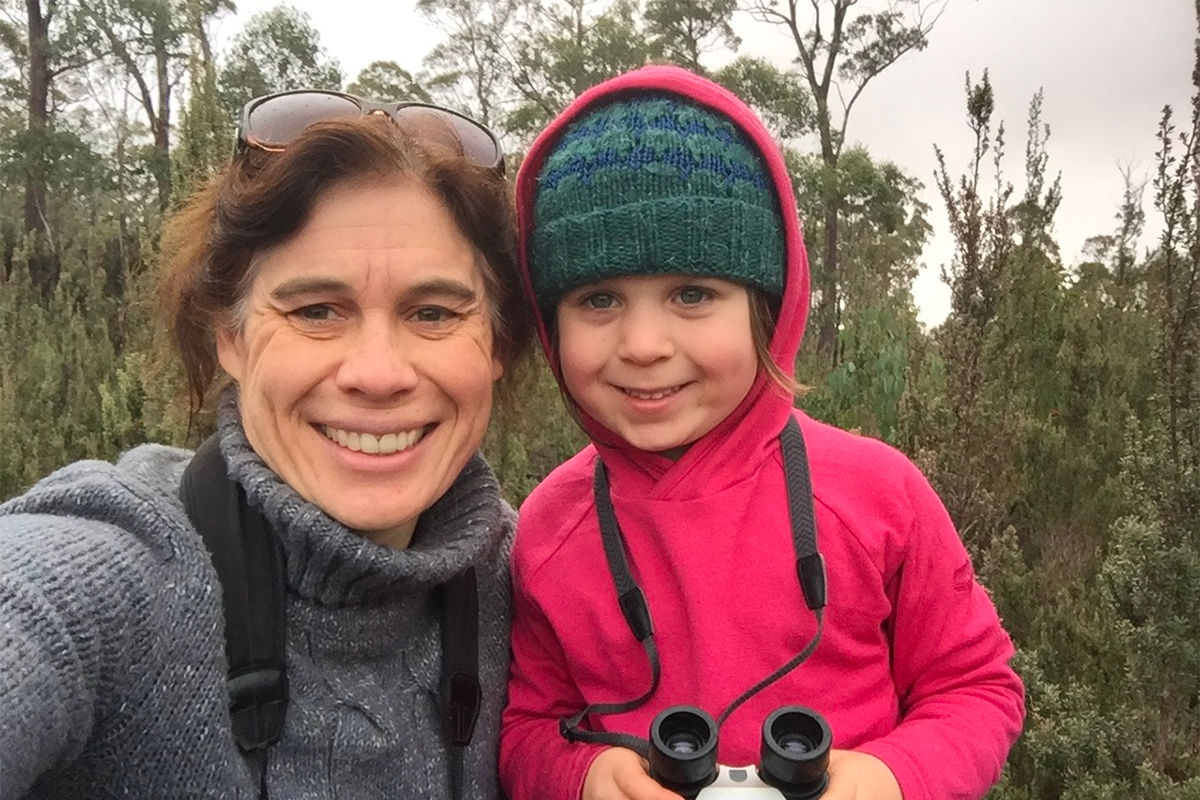
A mother and young daughter, warmly dressed, pose in front of a remote heathland area after a Where? Where? Wedgie! 10 minute survey. The daughter is holding a pair of binoculars and both look very happy. Photo: Kate Thorn.
Photo: Kate Thorn
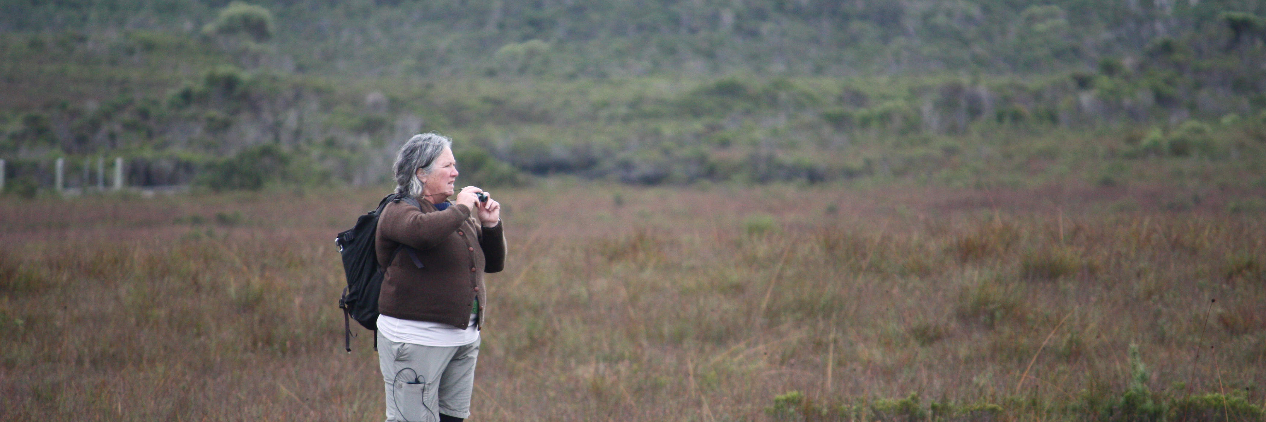
A woman stands on a boardwalk in Tasmania’s remote southwest, holding binoculars, during a Where? Where? Wedgie! survey. Photo: Persia Brooks.
Photo: Persia Brooks